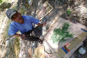
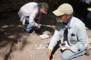
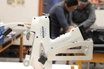
Using Unmanned Aerial Vehicles (UAVs) for 1) 3D mapping of caves and their landscapes, and 2) the analysis of human-nature relationships with Infrared False Color (IRFC), Normalized Difference Vegetation Index (NDVI), and other multispectral imagery.